/TOPDOWN · CHATGPT
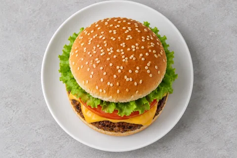
Overhead view
Reimagine the subject photographed directly from above, with a clean readable overhead composition, plausible perspective and consistent soft shadows.
foodpeople
Rephotograph the same alpine lake from an elevated oblique aerial viewpoint, looking down at about forty-five degrees from above the near shore.
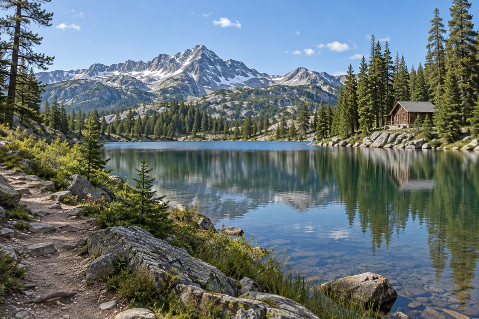
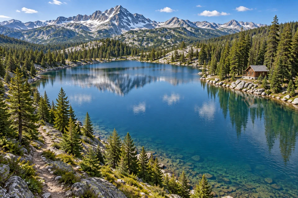
Own image-edit example from the recorded source. One accepted input; not Verified.
A landscape with recognizable shoreline and landmarks.
Rephotograph the same alpine lake from an elevated oblique aerial viewpoint, looking down at about forty-five degrees from above the near shore.
Newly revealed terrain is inferred. The aerial view is fictional and cannot support navigation or mapping.
An oblique aerial view reveals both upper surfaces and depth. The higher viewpoint introduces inferred terrain beyond the original camera's view; droneview is a search alias, not evidence of a drone capture.
Check shoreline continuity and major landmarks. If the scene becomes unrelated, reduce the altitude change. Do not use the result for navigation or mapping.
/TOPDOWN — A direct overhead view removes much of the oblique depth and is a related, different camera choice.
These are editing suggestions, not additional test observations. Read the practical guide or use the before/after checklist.
Rephotograph the same alpine lake from an elevated oblique aerial viewpoint, looking down at about forty-five degrees from above the near shore. Newly revealed terrain is inferred. The aerial view is fictional and cannot support navigation or mapping.
Input advice and use cases are editorial guidance, not additional test results.
Elevated oblique lake view with recognizable mountain/cabin arrangement. Height and angle approximate; newly exposed shoreline is inferred.
2026-09-24 · Work built-in image_gen
These notes describe the named runs, which may use a different subject from the comparison above. They do not guarantee results on another input or a future model. See our testing method.